

Satellite imagery has a rich history showing us some of the most spectacular ariel photography we could ever imagine.
Ever since the first image from space in October of 1946, we have been amazed by various images of our planet taken from beyond the clouds.
The next step was to take photos from satellites, though the earliest versions of satellite imagery were very different compared to what we know today.
Now satellite imagery is a sure-fire way to track humanity across the globe.
The detail of modern satellite imagery is impressive, with tools such as google maps giving us access to almost the entire planet at street view.
Satellite imagery has revolutionized navigation and education, helping us all to understand where we’re going and just how big our blue planet really is.
But how, exactly, does satellite imagery work? If you find yourself scratching your head and trying to work out how this could be possible – you wouldn’t be the first!
Satellite imagery is based on some pretty incredible technology, and we’ve created this article to explain it to you!
The First Satellite Images
The first images taken from space were attempted in 1946 when sub-orbital flights (flights that go into space but then back to earth) brought cameras to try and get some great photographs.
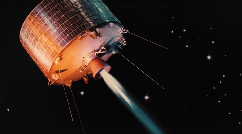
The first satellite image was created from pixels and made by the satellite known as Explorer 6.
This satellite was a small satellite shot into earth’s orbit so that we could study different kinds of radiation. Explorer 6 became the first satellite to take a photo of the earth in 1959 – a blurry picture of the north-central Pacific Ocean.
To put into perspective how basic the technology used to create this image – it took around 40 minutes for the image to transmit to its earth-level station.
Though we take images of space and the earth for granted these days, there was a time when these small, low-quality images were a marvel of scientific achievement.
Now satellite photography can be used to create an entire image of the earth – giving us a realistic look into what our planet looks like from outer space; the beautiful ‘blue marble’ as was the name given to the first, most famous image of earth from space in 1972.
How Satellite Imagery Works
Okay, so that was a little about the origins of satellite imagery – but how exactly does the science behind satellite imagery work?
Before we explain it’s worth noting that, at the time this article was written, there are around 7500 active satellites in Low Earth Orbit. All of these satellites are doing different things and have been built at different times.
So technology is always improving and changing. Satellites typically have a lifetime between 5 and 15 years, so we’re constantly replacing and adding new ones to the atmosphere.
Let’s begin with the short version – satellite imagery can also be called ‘remote sensing.’ In this process, satellites use sensors that collect electromagnetic radiation that comes from the earth.
Satellites then send masses of data to receiver stations down on earth.
Still not 100% how it works? That’s okay! It’s complicated.
Let’s try the more complex version. Satellite images are created through their ability to capture a higher range of the EM spectrum such as infrared and ultraviolet light as well as microwaves.
Satellite images piece these different types of light together in order to create what we know as satellite images.
Satellite images tend to have different colors compared to regular images – these colors fill in the gaps of the types of light that are invisible to humans.
Satellite images get to you in a variety of different ways.
Generally, we interact with satellite imagery through interactive consoles such as phones and computers. This information is often displayed to us by companies or institutions that have control of satellites and/or the images they produce.
Google Earth, for example, creates clear images out of this information to make clear pictures of earth.
That said, it is important to note that many images you might see of the earth are aerial photographs that were taken in planes.
Uses For Satellite Imagery

Weather Observation – satellite imagery has been important in weather predictions and analysis for a long time now.
Weather satellites are a special kind of satellite that carries equipment called radiometers that scan the earth up and down to create images. These images are used to forecast the weather.
Urban Development – High-resolution satellite imagery is used within urban development to help developers and managers monitor and consider the impacts and cost of projects.
Archeology – in recent years, satellite imagery has become a useful tool for understanding periods of history we can no longer see from the ground.
It is often used for the identification of archaeological sites as well as understanding them from a different perspective. Satellite imagery can give insight into lost features of ancient civilizations.
Agriculture – satellite imagery is used in a kind of agriculture called precision agriculture.
Imagery from satellites can be used to track the health of various crops as well as differences in soil conditions, as well as planning and efficiency when planting new crops. It can even be used to detect major crop issues such as diseases and pest control.
Final Thoughts
We hope that this article has given you some insight into the mechanics of satellite imagery, from its earliest beginnings to the multiple uses we have today.
Satellites are remarkable technology that gives us a variety of different tools to learn about and develop the world around us.
The sheer amount of data and power that satellites are now being made with offers us a whole host of possibilities that could help us more in the future.
With current fears around climate change, improved satellites are being used to monitor ocean and atmospheric data.
One thing is certain – satellite imagery is a vital technology that will continue to serve us as time goes on.
FAQ
What Is LEO?
LEO stands for Low Earth Orbit. This is a term that is used to describe an orbit that is close to the earth’s surface. It tends to be between 200km and 1000km away from the earth’s surface. Any higher would be what we call high earth or geocentric orbit. We don’t typically place satellites up this high.
Why Are Satellites In LEO?
The reason satellites are most often places in Low Earth Orbit is partly to do with taking images.
The closer they are to the earth, to higher resolution images they will be able to take. It’s worth noting that LEO is also the place where the International Space Station sits as it travels around the earth – this is because it is easier for cosmonauts to reach and to come back from.
What Is Electromagnetic Radiation?
Electromagnetic Radiation is a king of radiation that includes several different ‘rays’ that are more commonly known.
These rays are – radio waves, X-rays, gamma rays, and also ‘light’ as we know it.

- I Can’t See Anything Clearly Through My Telescope – Help! - April 26, 2022
- Astronomy For Beginners – Getting Started Stargazing! - April 26, 2022
- Are Telescopes Easy To Use? - April 26, 2022